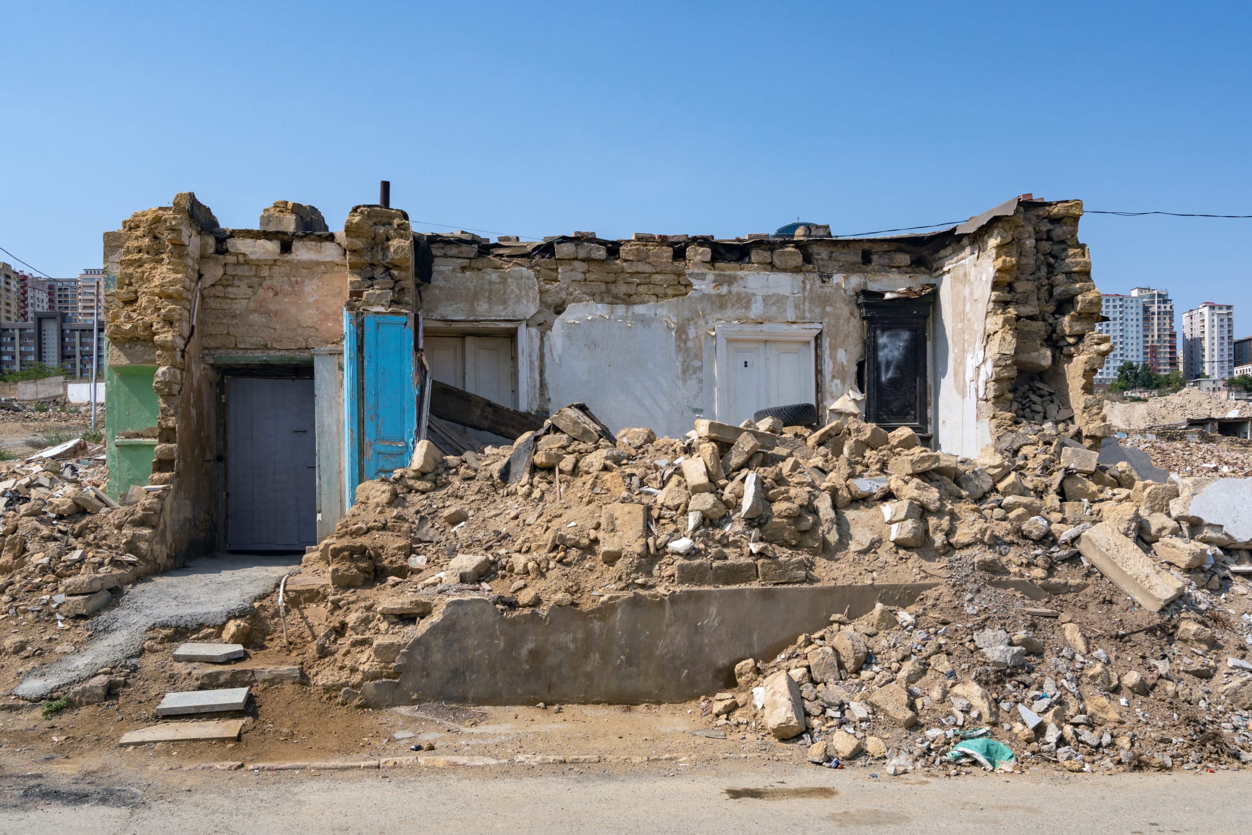
Earthquake disaster response in the Philippines
Mobile data collection has been used successfully in crisis management, in typhoon Nari disaster response in the Philippines, by Plan International. The local rapid assessment team used Poimapper in gathering and reporting field data in the Viasayas region. Field data included information on evacuation centers, demographic data of families and individuals in the area, route information, water supplies, and sanitation. The field data was reported in a country-level situation report, enabling informed decisions on the next action steps to be taken and an effective allocation of local resources.
“As a part of its disaster response, Plan Philippines used Poimapper in rapid needs assessment activities in the recent magnitude 7.2 earthquake that hit the Central portion of the Visayas region in the Philippines. According to Plan’s IT Manager Jonathan Dayrit, members of Plan’s rapid response and assessment team sent the results of assessments to the Country office command center in near-real time. This has allowed Plan’s managers to create accurate situation reports and make informed decisions on potential interventions.”
In addition, Poimapper has been used in preventive needs assessment in the northern part of the Philippines. Relevant text, image and location data is gathered in pre-defined forms in phones and tablets, and analysed in Poimapper portal. This enables accurate action plans for a case of a flooding or a typhoon.
You can read more here!
Follow us on Facebook, Twitter, LinkedIn, Instagram and Youtube!